GIS Site Locator Mapping Service
Introduction
The GIS Site Locator Mapping Service is an innovative tool designed to enhance the efficiency and effectiveness of city planning and development control. It serves as a critical resource for ACTDA, providing detailed spatial information that aids in informed decision-making.
Overview of GIS Site Locator Mapping Service
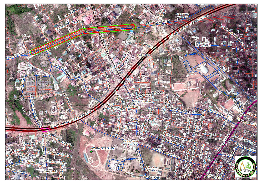
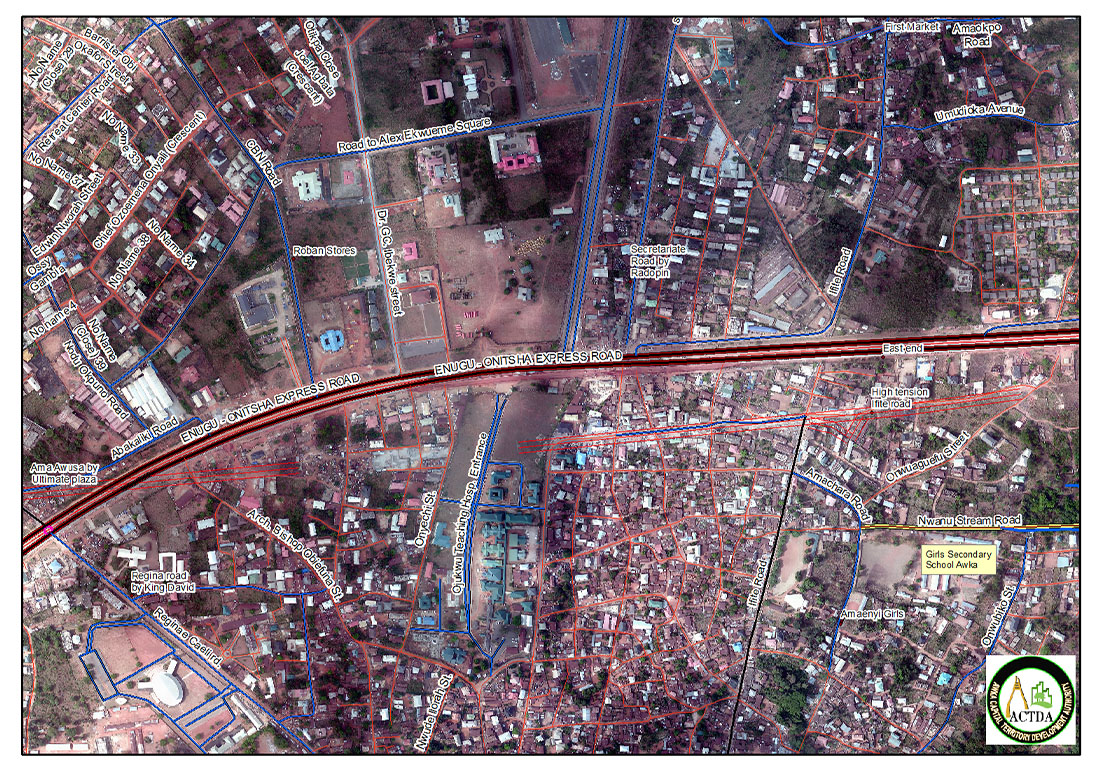
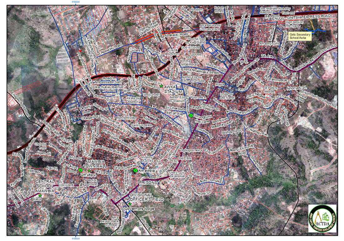
This service utilizes Geographic Information Systems (GIS) to offer a comprehensive view of various sites within the jurisdiction of the city planning and development control agency. It consolidates data from multiple sources, presenting it in an interactive map format that is both user-friendly and accessible.
Features


User Guide
- Accessing the Service: Navigate to the GIS Site Locator Mapping Service through the ACTDA portal.
- Searching for Sites: Utilize the search window to find sites by address, name, or identification number.
- Interacting with the Map: Click and drag to move around the map. Use the zoom controls to adjust the view.
- Querying Data: Enter search criteria to filter the sites and retrieve specific data.
- Generating Reports: Select the desired site(s) and use the ‘Generate Report’ function to obtain detailed information.
- Overlaying Layers: Choose from the available GIS layers to overlay on the map for additional data visualization.
- Printing Maps: Use the ‘Print’ function to produce hard copies of the map with the current view and data.
- Accessing Documents: Click on the document links provided in the service to view more detailed information about each site.
Benefits
- Enhanced Decision-Making: The service provides a wealth of information that supports strategic planning and development.
- Time-Saving: Quick access to a wide range of data reduces the time spent on research and site evaluation.
- Cost-Effective: By streamlining the planning process, the service helps to minimize expenses associated with development projects.
- Improved Collaboration: Sharing of maps and reports facilitates better communication among stakeholders.
Conclusion
The GIS Site Locator Mapping Service is a vital asset for ACTDA, offering a dynamic platform for spatial data analysis and site management. Its intuitive design and robust features make it an indispensable tool for city planning and development control.
For more information on how to utilize this service, please refer to the detailed user manual or contact the ACTDA support team.

