GIS Project Site Analysis Documentation
Introduction
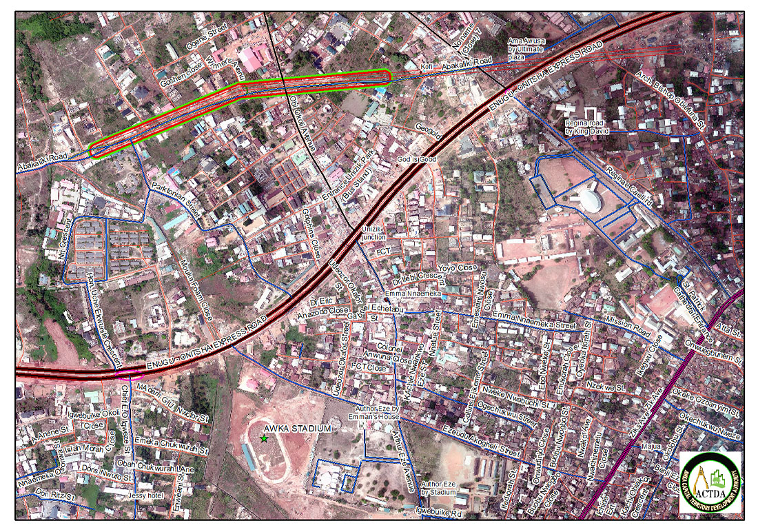
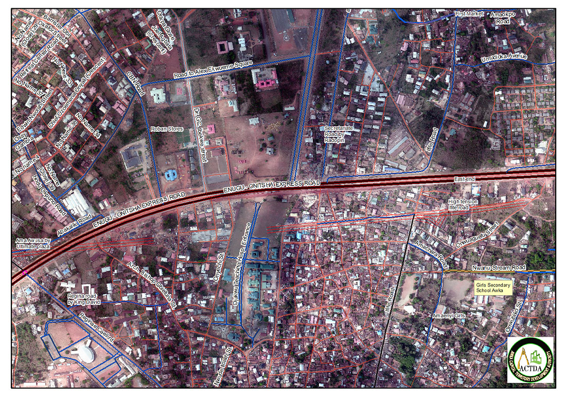
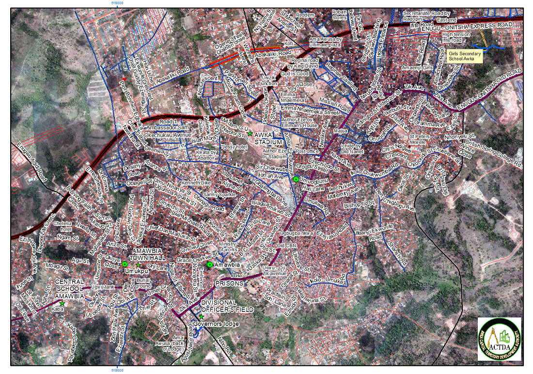
Geographic Information System (GIS) Project Site Analysis is a critical component in city planning and development control. It involves the use of GIS technology to evaluate potential sites for development projects based on various criteria and datasets. This documentation provides an overview of the process and steps involved in conducting a GIS Project Site Analysis, tailored for the needs of ACTDA, a city planning and development control agency.
Objectives of GIS Site Analysis
The primary objective of GIS Site Analysis is to identify the most suitable locations for new development projects by considering multiple factors such as land use compatibility, environmental constraints, accessibility, and infrastructure availability. The analysis aims to support informed decision-making and ensure sustainable development practices.
Steps in GIS Project Site Analysis


Tools and Resources
ACTDA can utilize various GIS tools and resources for site analysis, including the Suitability Modeler, raster functions, geoprocessing tools, or ModelBuilder in ArcGIS Pro. These tools facilitate the creation of analytical models and the visualization of data.
Conclusion
GIS Project Site Analysis is a powerful tool for city planning and development control agencies like ACTDA. By following the outlined steps and utilizing appropriate GIS tools, agencies can make data-driven decisions that promote sustainable urban development.

