GIS Flood Analysis Documentation
Introduction
Geographic Information Systems (GIS) are powerful tools that enable city planning and development control agencies like ACTDA to analyze and visualize data spatially. In the context of flood analysis, GIS technology plays a crucial role in planning, mitigating, and responding to flood events. This documentation provides an overview of the GIS Flood Analysis process, designed to assist ACTDA in developing strategies for flood risk management.
Getting Started with GIS Flood Analysis
The first step in GIS Flood Analysis is to gather relevant spatial data, which may include topography, land use, soil types, hydrography, and historical flood records. This data serves as the foundation for creating flood models and simulations.
Advanced GIS Flood Analysis Techniques


Flood Impact Analysis Workflow
- Data Preparation: Before analysis, data must be organized and formatted correctly. This involves ensuring that all spatial data aligns with the same coordinate reference system and is free from errors.
- Flood Scenario Development: Using the prepared data, analysts can create flood scenarios based on various factors such as rainfall intensity, river discharge levels, and potential blockages in waterways.
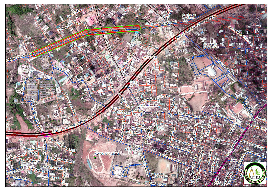
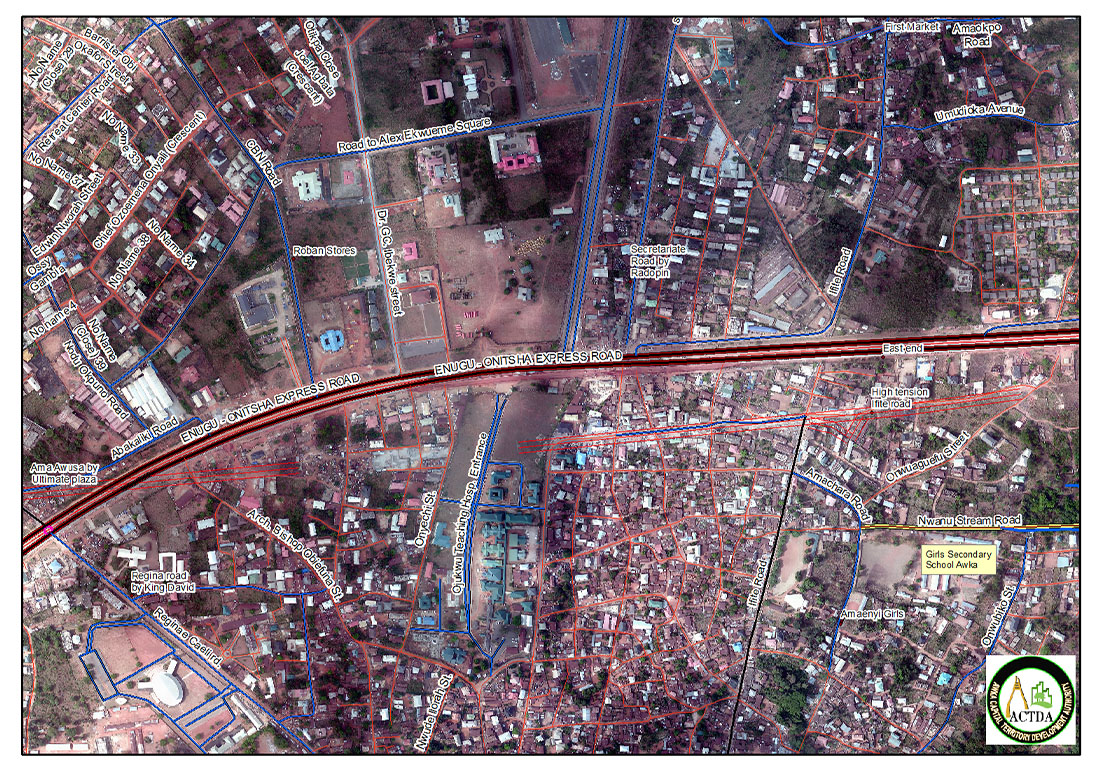
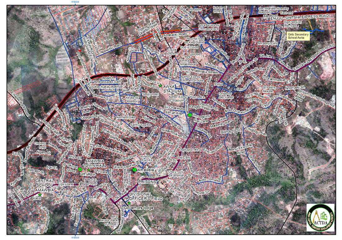
- Impact Analysis: The impact of the flood scenarios on public infrastructure, critical facilities, and vulnerable populations is assessed. This step may involve overlaying flood extents on infrastructure maps to identify affected assets.
- Visualization: GIS tools allow for the visualization of flood impacts in both 2D and 3D formats, aiding in the understanding of flood dynamics and the spatial distribution of flood risks.
- Sharing Information: The results of the flood analysis are shared with relevant stakeholders, including emergency management, public works, and planning departments, to facilitate informed decision-making.
Conclusion
GIS Flood Analysis is an indispensable part of urban planning and disaster management for agencies like ACTDA. By leveraging GIS technology, planners and analysts can make data-driven decisions to reduce flood risks and enhance community resilience. The workflows and techniques outlined in this documentation provide a roadmap for implementing GIS-based flood analysis effectively.
For a comprehensive guide on utilizing GIS for flood impact analysis, refer to the ArcGIS Solutions documentation.

